Arusha National Park
Arusha National Park covers an area of almost 140 sqkm and includes Mount Meru, a volcano rising to 4,566 metres above sea level in the Arusha region. The park is the smallest in the country, and has been successively named National Park of the Ngurdoto Crater in 1960, then National Park of Mount Meru, before receiving its current name of Arusha National Park in 1967. The park is divided into three zones:
In the west, the crater of Mount Meru (2nd summit of Tanzania) embraces the Jekukumia River.
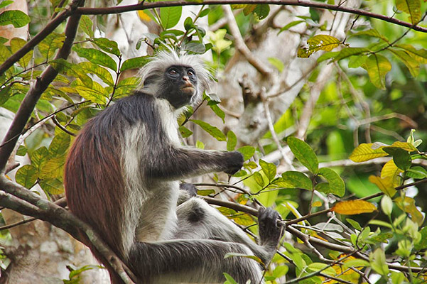
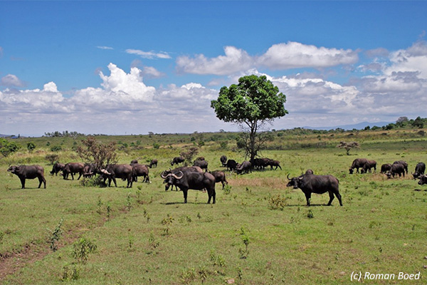
In the south-east, Ngurdoto Crater, with a 3km diameter, is covered by tropical forest where many species of monkeys live. In the bottom of the crater there are a multitude of animals, including herds of buffaloes.
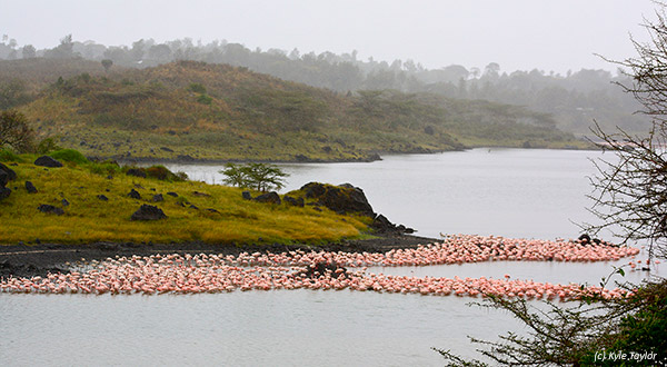
The Momella Lakes, in the northeast, are home to many bird species and there are colonies of flamingos, ibises, Egyptian geese, and some hippopotamuses.
Kilimanjaro, 60 km northeast of the park, is visible on clear days and the altitude of the park ranges from 1,500 metres to the summit of Mount Meru.
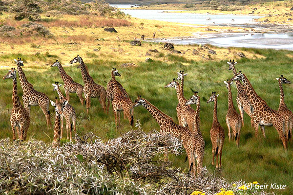
Since this park does not have lions, it is an ideal place to learn about walking safaris and meet mammals such as elephants, Maasai giraffes, buffaloes, zebras, warthogs, black-and-white colobus, and blue monkeys.